|
|
|
|
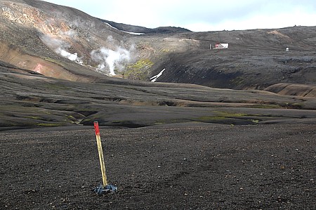 |
Review:
Beside the hut of Hrafntinnusker hot springs are steaming, serving for
the house to be heated. |
|
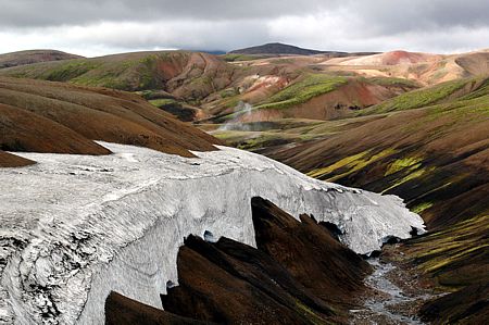 |
Snow remants:
Again and again the walker has to cross fields of snow. |
|
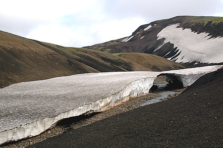 |
Weak bridge:
Often the brooks are covered by old snow. |
|
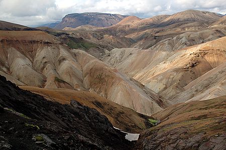 |
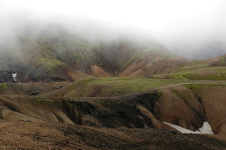
Colourful:
Soon we are leaving the rhyolite country. |
|
 |
Valley option:
Two walkers are making their way along the usual valley route. Steady
weather provided experienced trekkers can opt for the higher
alternative along the Reykjavjöll ridge. |
|
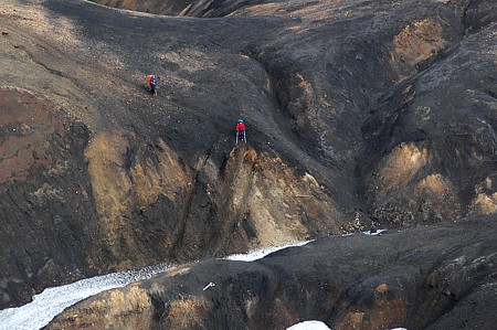 |
Down and up:
Again and again narrow valleys have to be overcome. Be careful when
walking on snowy bridges especially later in the day when the snow has
got soft. |
|
 |
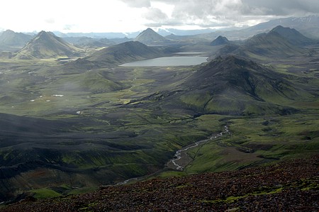
Recovery:
In between there is always time to relax on easy ridges. |
|
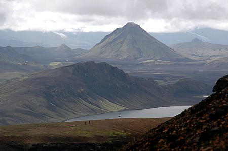 |
Changed scenery:
Walkers descend to the day's end, lake Álftavatn, with the view onto a
completely changed landscape.
The mighty volcanic cone Botnar
will be passed on the right tomorrow. |
|
 |
End in sight:
The huts of Àlftavatn are situated at the left front banks of the lake.
Sparkling in the foreground is the brook Grashagakvisl which we have to
ford in a few minutes. |
|
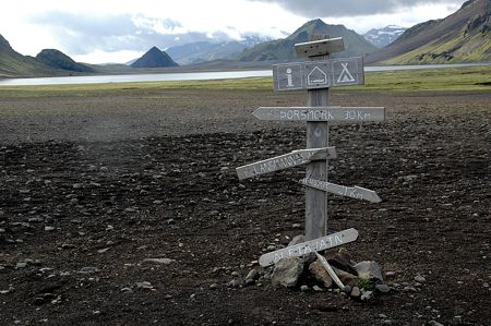 |
Almost half way:
Since the start at Landmannalaugar we have covered 21km, with 30km
still to come until
Þórsmörk. |
|
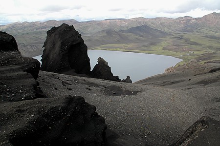 |
Peak trip:
An afternoon stroll leads up to the top of Brattháls, a black ridge
offering breathtaking views. |
|
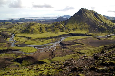 |
Green country:
Behind the dominating mountain Stórasóla our path goes on further
South. |
|
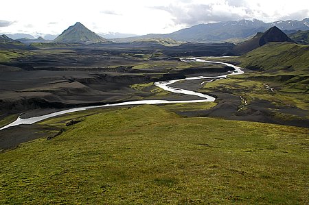 |
Meander:
The glacial stream Bratthálskvisl strongly finds its way through the
green plain. |
|
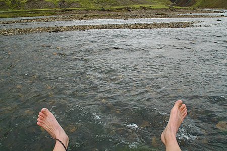 |
Feet Wash:
A spontaneous walk suddenly ends at a river's bank inevitably, there is
only one choice as long as one doesn't want to turn back. |
|
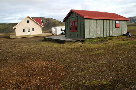 |
New accommodation:
F.Í. now offers 2 huts
at Álftavatn, sleeping 58 persons in total.
following page:
3.
Álftavatn - Emstrur |